miles ahead of the front. These clouds are all found in
the warm air. Generally, unless the cold air is unstable
and descending currents are weak, there are few clouds
in the cold air behind the front. Showers and
thunderstorms occur along and just ahead of the front.
The ceiling is low only in the vicinity of the front.
Visibility is poor during precipitation but improves
rapidly after the frontal passage.
Upper Air Characteristics
Because of the sinking motion of the cold air
behind the front and the resultant adiabatic warming,
the temperature change across the front is often
destroyed or may even be reversed. A sounding taken in
the cold air immediately behind the surface front
indicates only one inversion and an increase in moisture
through the inversion. Farther back of the front, a
double inversion structure is evident. The lower
inversion is caused by the subsidence effects in the cold
air. This is sometimes confusing to the analyst because
the subsidence inversion is usually more marked than
the frontal inversion and may be mistaken for the
frontal inversion.
In contrast to the slow-moving cold front, the wind
above the fast-moving cold front exhibits only a slight
backing with height of about 20 degrees between 950
and 400 mb; the wind direction is inclined toward the
front at an average angle of about 45 degrees. The wind
components normal and parallel to the front increase
with height; the wind component normal to the front
exceeds the mean speed of the front at all levels above
the lowest layers. On upper air charts, the isotherms are
NOT parallel to the front. Instead they are at an angle of
about 30 degrees to the front, usually crossing the cold
front near its junction with the associated warm front.
SECONDARY COLD FRONTS
Sometimes there is a tendency for a trough of low
pressure to form to the rear of a cold front, and a
secondary cold front may develop in this trough.
Secondary cold fronts usually occur during outbreaks
of very cold air behind the initial outbreak. Secondary
cold fronts may follow in intervals of several hundred
miles to the rear of the rapidly moving front. When a
secondary cold front forms, the primary front usually
tends to dissipate and the secondary front then becomes
the primary front. Secondary fronts usually do not
occur during the summer months because there is rarely
enough temperature discontinuity.
COLD FRONTS ALOFT
There are two types of upper cold fronts. One is the
upper cold front associated with the warm occlusion
that is discussed later in this unit. The other occurs
frequently in the areas just east of mountains in winter.
This cold front aloft is associated with mP air crossing
the mountains behind a cold front or behind a cold
trough aloft and a very cold layer of continental polar
air lying next to the ground over the area east of the
mountains. The area east of the Rocky Mountains is one
such area in the United States. When warm maritime
tropical air has moved northward from the Gulf of
Mexico and has been forced aloft by the cold cP air, and
cool mP air flows over the mountains, it forces its way
under the warm mT air aloft. The resulting front then
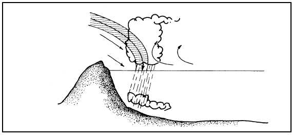
flows across the upper surface of the colder cP air just
as if it were the surface of the ground. All frontal
activity in this case takes place above the top of the cP
layer. Figure 4-33 shows an example of this type of
front and the synoptic structure. Weather from cold
4-35
FRONTAL
ZONE
AG5f0433
WEST
COOL
mP
WARM
mT
cP
VERY COLD
ROCKY
MOUNTAINS
EAST
Figure 4-33.—Cold front aloft.