analysis, the valid time is the synoptic hour of the
observations. For a prognosis, the valid time is the
moment in the future when the actual conditions should
be most like the conditions depicted. Certain products
are called time-phased products. These products show
boundaries of areas that will be effected by moving
weather systems over a specified period of time. Time-
phased products may either state a valid period of time,
such as ACCUM PRECIP PROGNOSIS VT: 2 1 / 1200Z
TO 22/1200Z DEC 96, or may indicate the time period
in the title, and use a valid time for the end of the period,
such as 24HR PRECIP 24 HR FCST VALID 22 DEC
96
1200Z.
When a product is used as a briefing aid, it is
common practice to enlarge the valid time on the paper
copy or video display so that the audience may see the
time without eye strain, and to show both the UTC time
and the local time. For a briefing in Norfolk, Virginia
(time zone "R"), a briefing product valid at 12Z 18 Dec
96 would be identified with an enlarged valid time of
VT: 1200Z18 DEC 96
0700R
See Appendix III for a chart of time zones.
GRAPHIC HISTORY
Occasionally, you will be asked to place history on
a surface chart or a constant pressure level chart prior to
manual analysis.
History is the past positions of
pressure or height centers, fronts, troughs, or ridges.
History helps the analyst or forecaster to determine past
movements of major chart features. It is a valuable tool
in both analysis of the current situation and the
prognosis of future positions of the same features.
To place history on a chart, the previous locations of
pressure centers or height centers, frontal systems and
troughs, and major features, such as jet stream
locations, are marked on the chart. Selected isobars,
isoheights, or isotherms may also be required by the
forecaster. Normally, two sets of positions are placed
on a chart: either the 6- and 12-hour-old positions or the
12- and 24-hour-old positions. For instance, a chart
containing surface plots of 05 December 1200Z
observations may have history marking the past
positions of fronts and pressure centers of 5 December
at 0000Z (VT minus 12 hours) and 4 December at
1200Z (VT minus 24 hours).
When two sets of history are used, the most recent
history positions are marked in orange, while the oldest
positions are marked in yellow. If only one set of
history is marked, the positions are marked in yellow.
Standard symbols are used for all features. The symbols
are discussed in the following section.
DATA DEPICTION STANDARDS
Nearly every graphic product that weather
observers, analysts, and forecasters deal with is
designed either to be received by electrographic
methods as ready to use or to be completed by an analyst
and sent to another user via electrographic methods.
The methods sometimes used to disseminate charted
products may be as simple as copying the chart on a
photocopier and carrying it to the user. Although some
of these methods allow the use of color, many graphics
transmission devices operate only in black-and-white
mode. Because of this, charts produced on color-
capable computer displays normally use standard
depictions that combine color and patterns. When
charts are reproduced in black and white, the shape of
the symbol alone identifies the feature depicted.
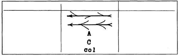
Figure 4-12 shows the standard symbols and colors
used on surface and constant pressure level analysis and
prognosis charts. Figure 4-13 shows the symbols and
TERM
SYMBOL
COLOR
Divergence line (asymptote)
BLUE
Convergence line (asymptote)
RED
Anticyclonic circulation center
BLUE
Cyclonic circulation center
RED
Neutral point
BLACK
Figure 4-13.—Symbols used on surface and constant-pressure level streamline analysis and prognosis charts.
4-15