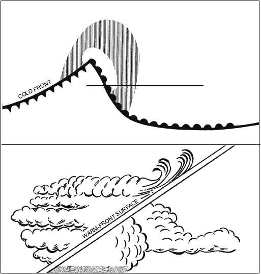
These factors make the warm-front fog among the most
dangerous. (See fig. 5-5.)
Dew
Dew does not actually fall; rather the moisture
condenses from air that is in direct contact with the cool
surface. During clear, still nights, vegetation often
cools by radiation to a temperature at or below the dew
point of the adjacent air. Moisture then collects on the
leaves just as it does on a pitcher of ice water in a warm
room. Heavy dew is often observed on grass and plants
when there is none on the pavements or on large, solid
objects. These objects absorb so much heat during the
day or give up heat so slowly, they may not cool below
the dew point of the surrounding air during the night.
Another type of dew is white dew. White dew is a
deposit of white, frozen dew drops. It first forms as
liquid dew, then freezes.
Frost
Frost, or hoarfrost, is formed by the process of
sublimation. It is a deposit of ice having a crystalline
appearance and generally assumes the form of scales,
needles, feathers, or fans. Hoarfrost is the solid
equivalent of dew and should not be confused with
white dew, which is dew frozen after it forms.
Rime (Rime Icing)
Rime is a white or milky opaque granular deposit of
ice. It occurs when supercooled water droplets strike an
object at temperatures at or below freezing. Factors
favoring the formation of rime are small drop size, slow
accretion, a high degree of supercooling, and rapid
dissipation of latent heat of fusion. Rime is a result of
freezing drizzle and looks like frost in a freezer. Rime
icing, which forms on aircraft, can seriously distort
airfoil
shape,
therefore
diminishing
lift
and
performance. Rime icing is more likely to form in
5-10
AG5f0505
A WEATHER MAP
WARM-FRONT FOG
B VERTICAL CROSS SECTION
ALONG A A
PRECIPITATION AREA
WARM FRONT
FOG
WARM AIR
FOG
COLD AIR
A
A
Figure 5-5.—Warm-front fog.


