then reading the geographical coordinates. On board
ship, the Operations Specialist (OS) or Quartermaster
(QM) personnel should have a complete set of charts for
the ship’s operating areas. These personnel should also
have the necessary topographic charts for the coastal
regions for which weather personnel may need to
provide environmental support. Ashore, contact the
National Imagery and Mapping Agency regional office
or refer to the NIMA catalog for the necessary products.
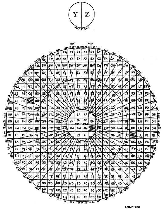
UPS GRID SYSTEM.—The Universal Polar
Stereographic (UPS) grid system is similar to the UTM
grid system, except that only two grid zones are used in
each polar region: Y and Z in the north polar region, and
A and B in the south polar region. Figure 4-6 shows the
grid zones and 100,000-meter squares in the north polar
region (84°N to the North Pole). For the southern polar
region, the grid zone designator A replaces Y, and B
replaces Z, and the longitude reference lines are rotated
Figure 4-6.—UPS grid zones and 100,000-meter squares used in the polar regions.
4-7


