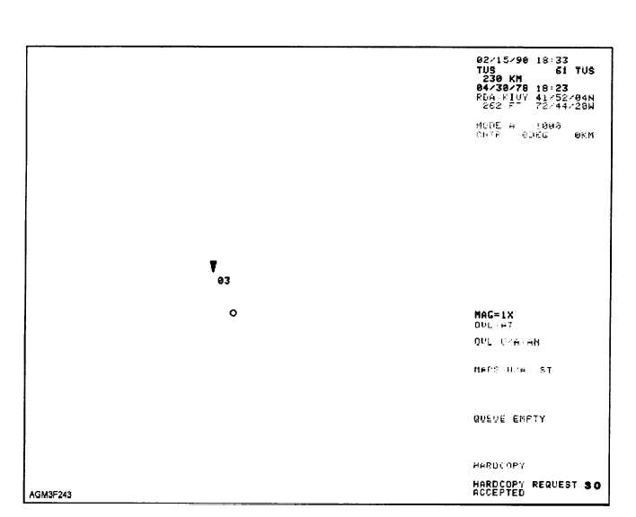
Figure 2-43.—Tornadic Vortex Signature (TVS) product.
independently and determines whether the product
will forecast an entire hour’s movement, a 45-, 30-, or
15-minute movement, or simply omit a forecast for any
given storm. Up to 100 storms may be monitored
simultaneously.
If a storm’s motion exceeds certain thresholds, the
STI algorithm may become confused. It bases
forecasts on linear extrapolation of past movement.
Therefore, storms traveling in a curved path or
changing direction will not be accurately forecast. STI
is intended for well-defined, isolated thunderstorms.
Under any other circumstance (i.e., squall lines,
LEWPs, etc.) the algorithm becomes confused,
resulting in a questionable product. If storms have
crossing paths, or are in close proximity to one another,
the algorithm might misidentify them and in extreme
cases, identify them as a single storm.
Hail Index (HI) Product
The Hail Index (HI) product scans all storms
within the radar coverage area and searches for very
high reflectivity values located above the freezing
level. It then provides an indication of which storms
are expected to produce hail. All storms are examined
for hail potential, then categorized accordingly. While
the algorithm is not foolproof, it provides a valuable
first guess. The hail product provides estimates on the
probability of hail, probability of severe hail, and
maximum expected hail size. The hail product
provides an extremely simple display, making it a good
overlay for other products. As you can see in figure
2-49


