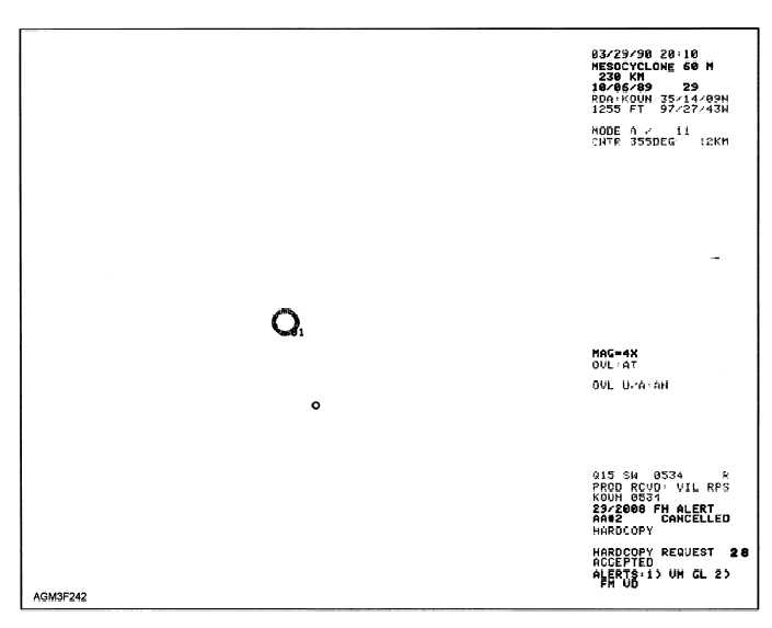
Figure 2-42.—Mesocyclone (MESO) product.
red triangle (fig. 2-43). Immediately upon the
identification of a TVS, you should notify the forecaster
and turn your attention toward other products for further
investigation (e.g. base velocity).
As with the MESO product, TVS should not be
used as a stand-alone source of information. The
algorithm of TVS searches only mesocyclones.
Tornadoes formed outside of mesocyclone bearing
storms go undetected. All limitations associated with
the MESO product will also effect the TVS product.
Unfortunately, the range of this product is limited to
approximately 60 nmi.
Storm Track Information (STI) Product
The Storm Track Information (STI) product
monitors the position and movement of isolated
thunderstorms within a 250-nmi radius of the RDA. It
also estimates future movement of isolated storms.
These forecasts can be used to generate automated
alerts.
STI monitors the movement of isolated storms by
correlating each storm’s current position to a storm
found in the previous volume scan. These storms are
then related to each other in time and space. If a storm
cannot be correlated to the previous scan, it is
designated as "new." STI also provides users with
best-guess guidance on storm paths throughout the
radar coverage area. Each storm is assigned a unique
alphanumeric identifier (fig 2-44). Movements are
forecast in 15-minute increments, for up to 1 hour
(represented by each tic mark). The algorithm’s
internal confidence factor rates each storm
2-48


